-
Historic Maps. SEPAC
Guernsey 2021.09.01
In issue: Stamp(s): 6
Printing: offset
Issued in: sheets of 10 (2*5) stamps
-
2021-1s-l.jpg)
2021-1s-frgm.jpg)
Number by catalogue: Michel: 1866 Yvert: 1882 Gibbons: 1921
Perforation type: 12x12
Subject:
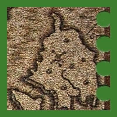
70 Guernsey pennies
Detail of a map of Guernsey and the Sark island**, illustrated by John Speed*.
Topics: Mills in Art Windmills
-
Number by catalogue: Michel: 1868 Yvert: 1880 Gibbons: 1923
Perforation type: 12x12
Subject:
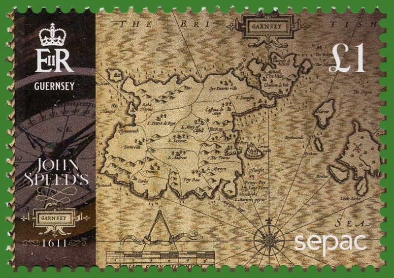
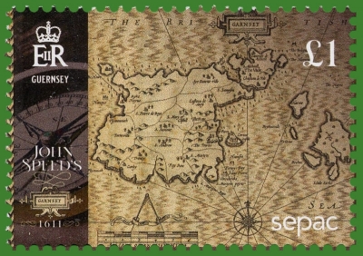
£1 Guernsey Pound
Reproduction of the full version map of Guernsey, by John Speed, 1611.
To the right is the island of Sark, shown on the previous stamp.Additional:
Created as part of a joint issue with SEPAC (Small European Postal Administration Cooperation) entitled ‘Old Maps’, these stamps depict sections of an old map of “Garnsey” (Guernsey) illustrated by *John Speed, one of the most famous British cartographers of the 17th century.
The stamps depict various sections “Garnsey” map and feature the historic Parish and Island names. The £1.00 stamp bears the SEPAC logo.
John Speed (1552-1629) is noted for placing England into the mainstream of map publishing which had been dominated by the Dutch since the late sixteenth century. He began by issuing maps of Great Britain in 1611 in his well-known Theatre of the Empire of Great Britaine. This remarkable work took over 15 years to assemble and is one of the most influential atlases of the British Isles ever published. It contains maps of the entire British Isles, the individual nations, and separate maps for the counties.
**Sark (Sercquiais: Sèr or Cerq, French: Sercq) is an island in the southwestern English Channel, off the coast of Normandy, and part of the archipelago of the Channel Islands. It is a self-governing British Crown Dependency, with its own set of laws based on Norman law, and its own parliament.
Sark has a population of about 500. Including the nearby island of Brecqhou, it has an area of 2.10 square miles (5.44 km2). Little Sark is a peninsula joined by a natural but high and very narrow isthmus to the rest of Sark Island.
The Great Sark Windmill, also known as "Le Moulin", is a historic landmark and the highest point on the island of Sark. It was built in 1571 by Helier De Carteret, the Seigneur of Sark, and is notable for its historical significance as the first building on the island and for its role in the island's agricultural economy. The windmill has survived fires, German occupation, and other challenges, and has been partially restored.
Topics: Mills in Art Windmills
2021-1s-l.jpg)
2021-1s-frgm.jpg)